
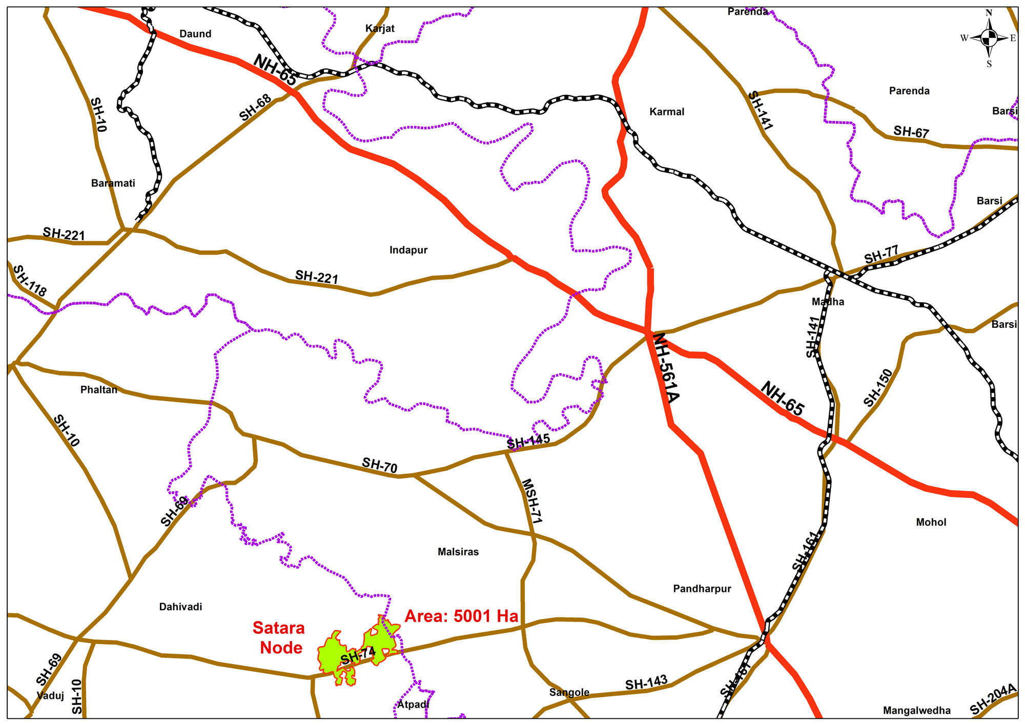
The Project Site is located 350km from Mumbai – the state capital, and 180km from Pune – the regional headquarters. Satara and Solapur – the district headquarters are 85km and 135km from the site respectively. The nearest international airport is at Pune, while the nearest station is at Devabhumi Pandharpur which is 63km east of the project site and the nearest major port is JNPT Mumbai. NH548C (Satara – Betul in Madhya Pradesh) and NH548E (Mhaswad to Devbhumi Pandharpur) both pass through the site.
The project site falls under two districts of the state of Maharashtra – namely District Satara and District Solapur and measures about 5001 ha Land details under different villages and districts are as given in the table below. Of a total 5001.31 ha of land, only 314.06 ha (6.28%) of land is government-owned rest is privately owned. The majority of government land belongs to forests, streams, and roads. Notification to acquire land is yet to be issued.
The site is well connected with JNPT Mumbai and Pune.
The node is well connected to DIGHI port (271 km through SH 58, 190 km by rail), which is the nearest major port, JNPT port (315 km through NH 48, 239 km by rail), and Mormugao port (400 km through NH 48).